

 Image 1 of 3
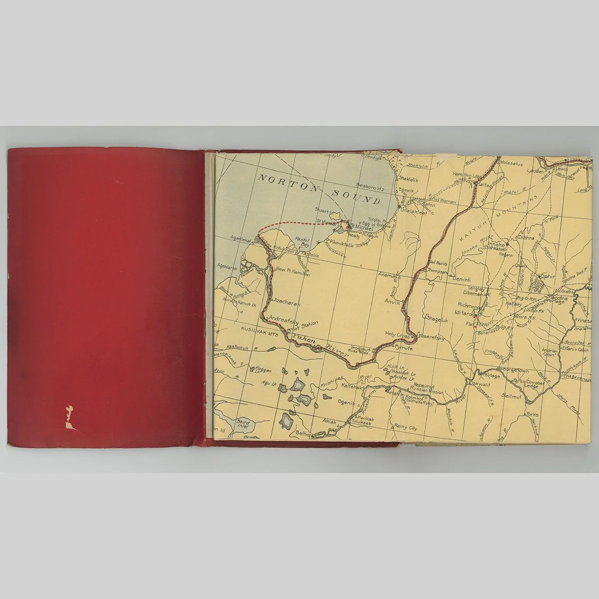 Image 2 of 3
 Image 3 of 3
American, published by Kroll Map Company
Seattle, Washington
1920
Lithographed paper in printed wrappers
Map 29.25 x 37 inches (74 x 94 cm)
Private New York collection
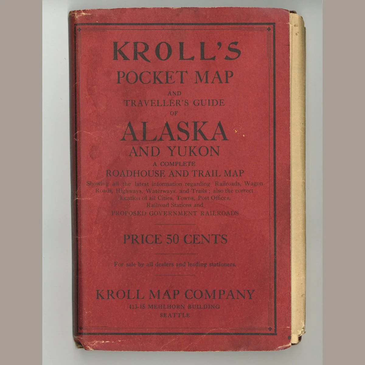
The folding map is issued in red printed wrappers lettered Kroll's Pocket Map and Traveller's Guide of Alaska and Yukon, described on the cover as a complete roadhouse and trail map and priced at fifty cents. The cover text sets out its coverage of railroads, wagon roads, highways, waterways and trails, together with the location of cities, towns, post offices, railroad stations and proposed government railroads. The wrappers are soiled and creased with edge wear and chipping along the spine, and the map folds out from within.
We ship free anywhere in the world, fully insured, packed by hand.
American, published by Kroll Map Company
Seattle, Washington
1920
Lithographed paper in printed wrappers
Map 29.25 x 37 inches (74 x 94 cm)
Private New York collection
The folding map is issued in red printed wrappers lettered Kroll's Pocket Map and Traveller's Guide of Alaska and Yukon, described on the cover as a complete roadhouse and trail map and priced at fifty cents. The cover text sets out its coverage of railroads, wagon roads, highways, waterways and trails, together with the location of cities, towns, post offices, railroad stations and proposed government railroads. The wrappers are soiled and creased with edge wear and chipping along the spine, and the map folds out from within.
We ship free anywhere in the world, fully insured, packed by hand.