

 Image 1 of 2
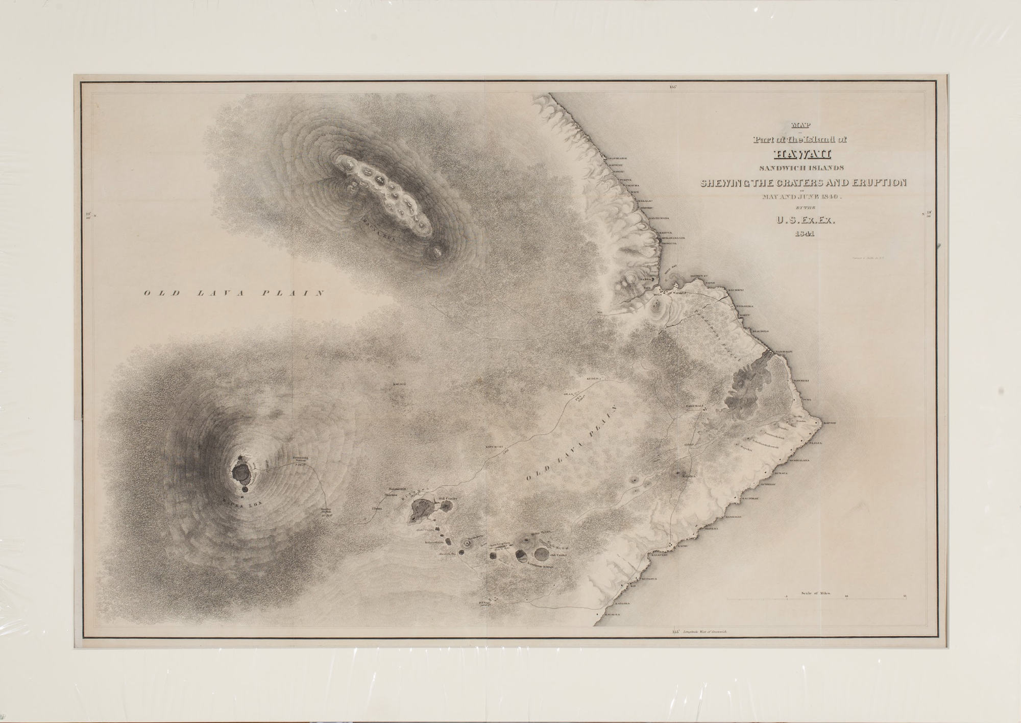 Image 2 of 2
United States Exploring Expedition (Charles Wilkes); engraved by Sherman and Smith, New York
Island of Hawaii, Sandwich Islands
1841
Engraving, matted and framed
15.3 x 21.2 in
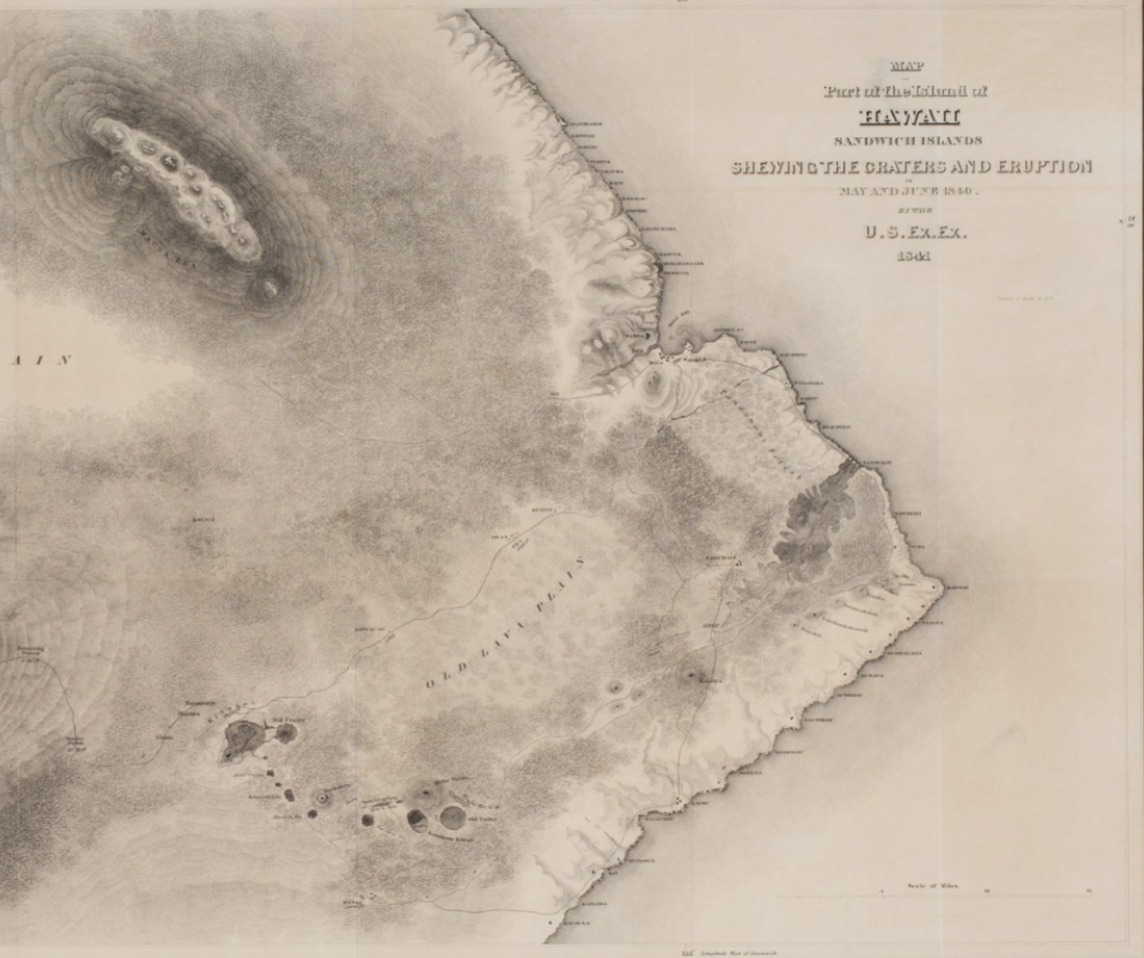
This engraved map records the southern part of the Island of Hawaii in the Sandwich Islands, made by the United States Exploring Expedition and titled to shew the craters and the eruption of May and June 1840. Mauna Kea rises at upper left and Mauna Loa at lower left, its summit crater and a dotted survey route marked toward a terminating station, with the Kilauea craters, an old crater, and a great crater set among two areas labeled old lava plain. The eastern and southern coastline is named with settlements from Hilo and Waiakea around toward Kau, the sheet ruled with longitude 155 west of Greenwich and a scale of miles at lower right, engraved by Sherman and Smith of New York. It carries a central fold as issued and is presented matted and framed.
The United States Exploring Expedition of 1838 to 1842, known as the Wilkes Expedition after its commander Lieutenant Charles Wilkes, was a national surveying and scientific voyage across the Pacific and the western coast of North America. Its officers and scientists surveyed the Hawaiian volcanoes in 1840 and 1841, including an ascent of Mauna Loa, and the results were published in a multi volume narrative with accompanying atlases and map sheets. Maps such as this one were engraved for that publication.
We ship free anywhere in the world, fully insured, packed by hand.
United States Exploring Expedition (Charles Wilkes); engraved by Sherman and Smith, New York
Island of Hawaii, Sandwich Islands
1841
Engraving, matted and framed
15.3 x 21.2 in
This engraved map records the southern part of the Island of Hawaii in the Sandwich Islands, made by the United States Exploring Expedition and titled to shew the craters and the eruption of May and June 1840. Mauna Kea rises at upper left and Mauna Loa at lower left, its summit crater and a dotted survey route marked toward a terminating station, with the Kilauea craters, an old crater, and a great crater set among two areas labeled old lava plain. The eastern and southern coastline is named with settlements from Hilo and Waiakea around toward Kau, the sheet ruled with longitude 155 west of Greenwich and a scale of miles at lower right, engraved by Sherman and Smith of New York. It carries a central fold as issued and is presented matted and framed.
The United States Exploring Expedition of 1838 to 1842, known as the Wilkes Expedition after its commander Lieutenant Charles Wilkes, was a national surveying and scientific voyage across the Pacific and the western coast of North America. Its officers and scientists surveyed the Hawaiian volcanoes in 1840 and 1841, including an ascent of Mauna Loa, and the results were published in a multi volume narrative with accompanying atlases and map sheets. Maps such as this one were engraved for that publication.
We ship free anywhere in the world, fully insured, packed by hand.